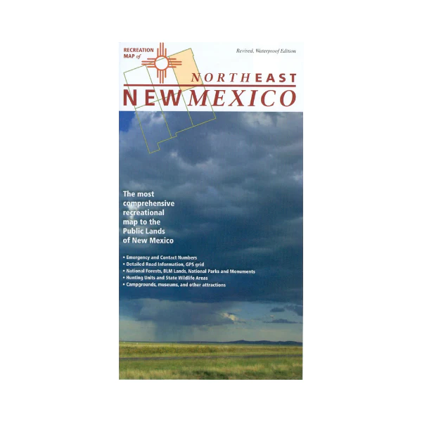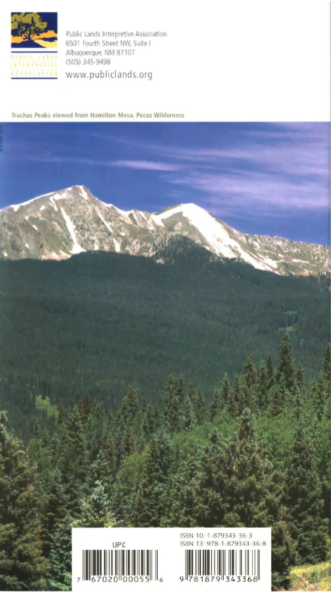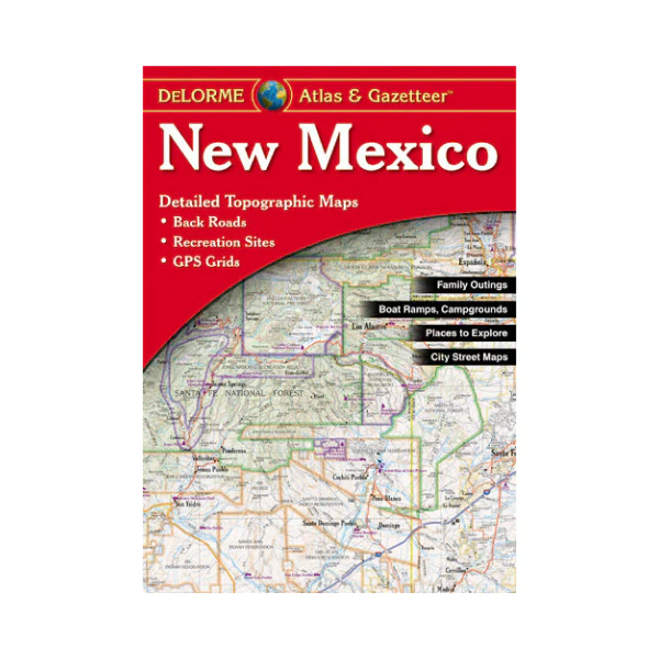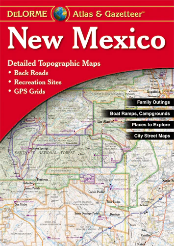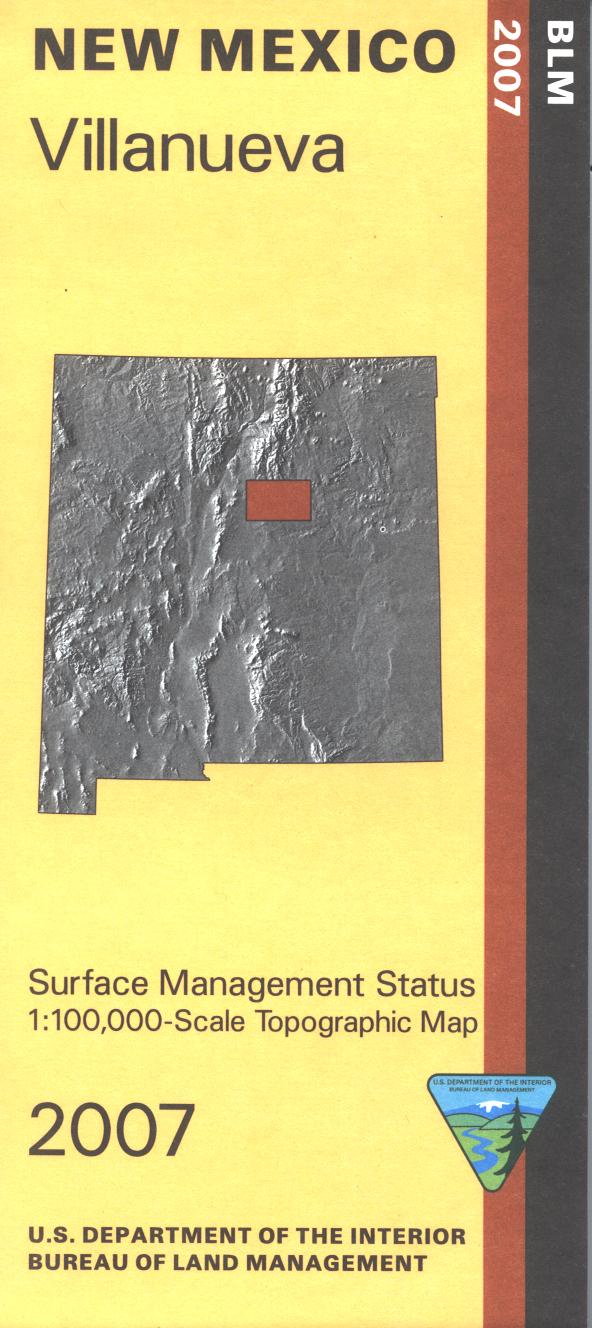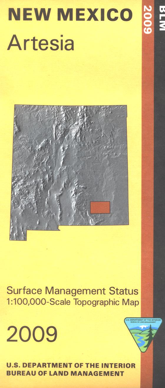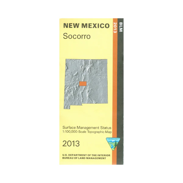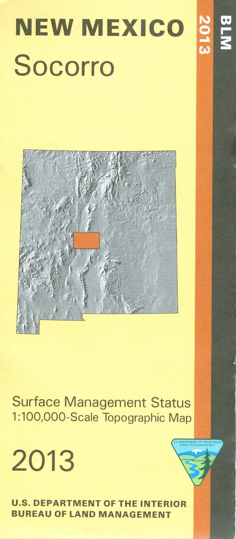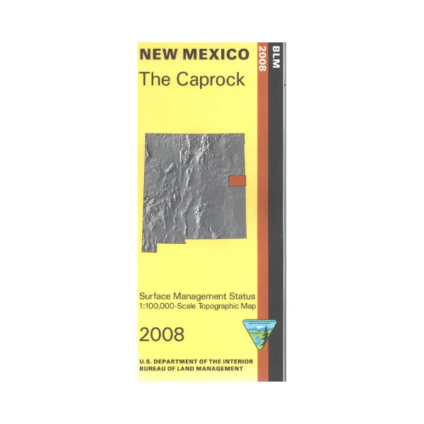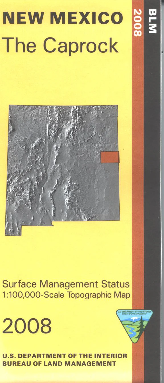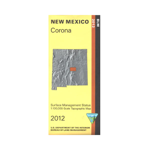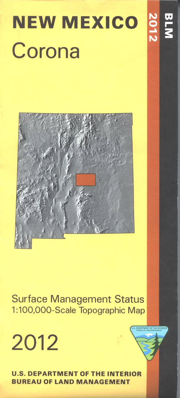
Map: Cibola National Forest NM Mountainair District
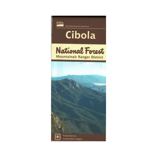
Official Forest Service map @1/2"=1 mile scale (no topographic detail) shows all lands, roads, trails, campgrounds and other recreation sites in the Mountainair District of the Cibola National Forest, including the Manzano Mountains and Forest areas between Mountainair and Corona. This is a perfect map for hunting the National Forest portions of Hunting Units 14 and 38, scenic driving, hiking, camping, backpacking, and horseback riding both in the forest and in the Manzano Mountain Wilderness. Scenic driving with views of the mountains and in the mountains. Visit Salinas Pueblo Missions National Monument near Mountainair. 2018
Original: $19.99
-65%$19.99
$7.00Product Information
Product Information
Shipping & Returns
Shipping & Returns
Description
Official Forest Service map @1/2"=1 mile scale (no topographic detail) shows all lands, roads, trails, campgrounds and other recreation sites in the Mountainair District of the Cibola National Forest, including the Manzano Mountains and Forest areas between Mountainair and Corona. This is a perfect map for hunting the National Forest portions of Hunting Units 14 and 38, scenic driving, hiking, camping, backpacking, and horseback riding both in the forest and in the Manzano Mountain Wilderness. Scenic driving with views of the mountains and in the mountains. Visit Salinas Pueblo Missions National Monument near Mountainair. 2018