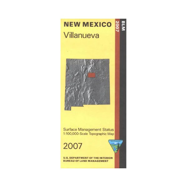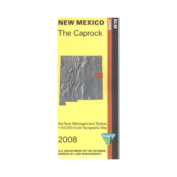
Map: The Caprock NM - NM009S
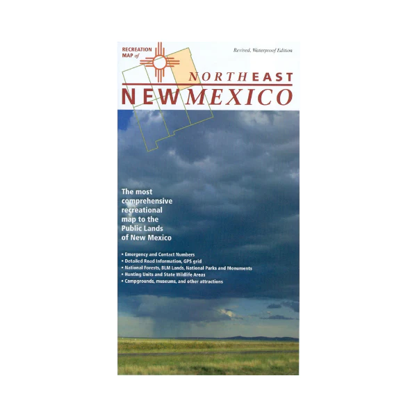
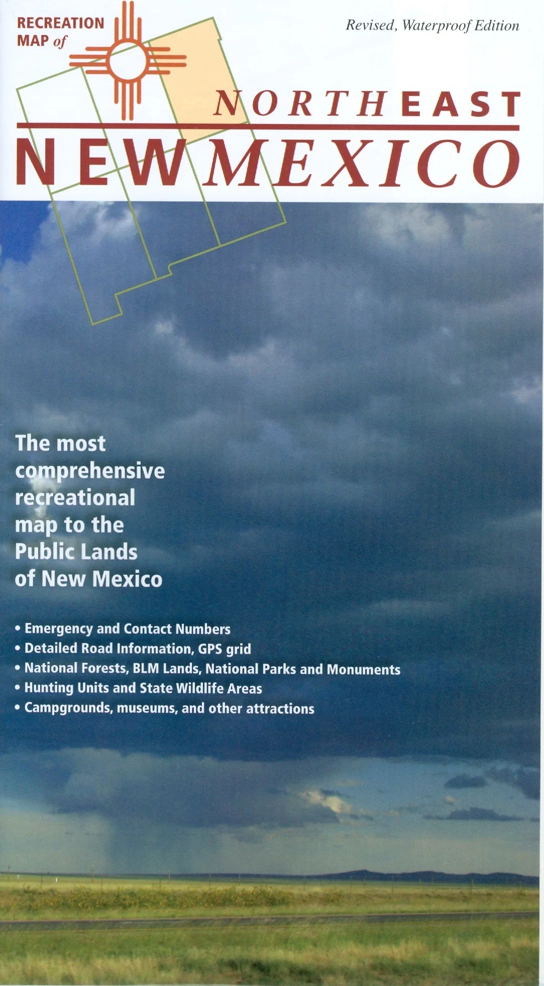
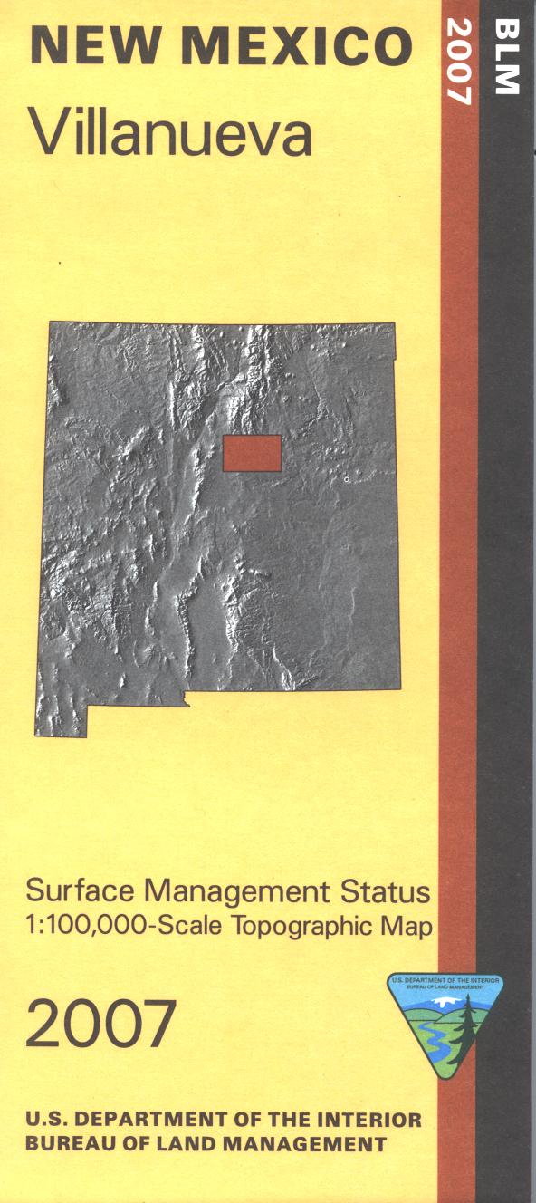
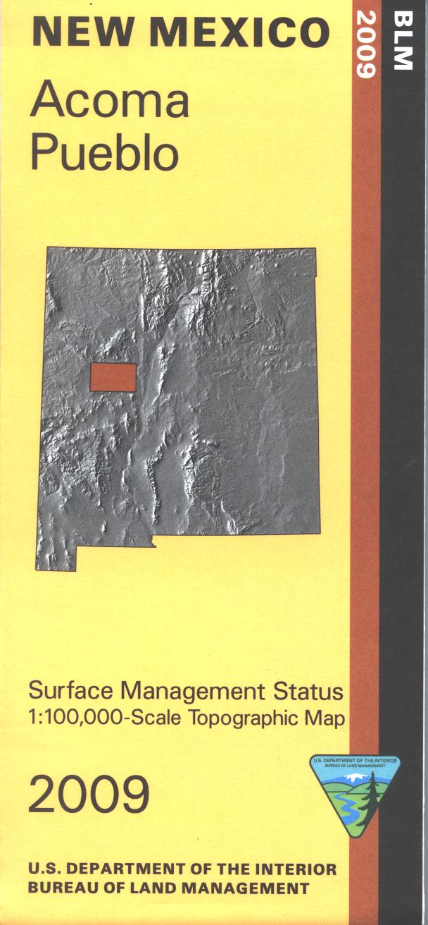
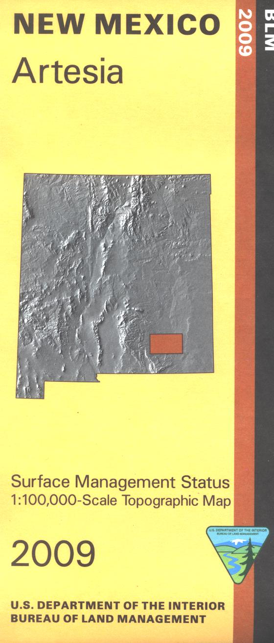
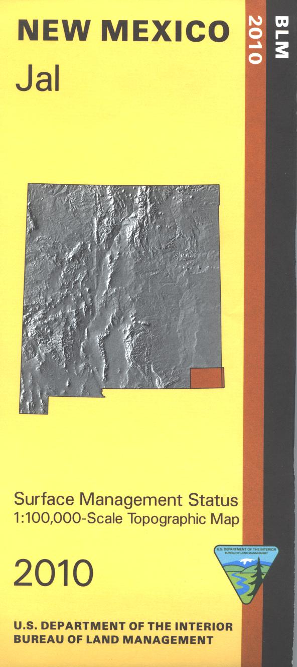
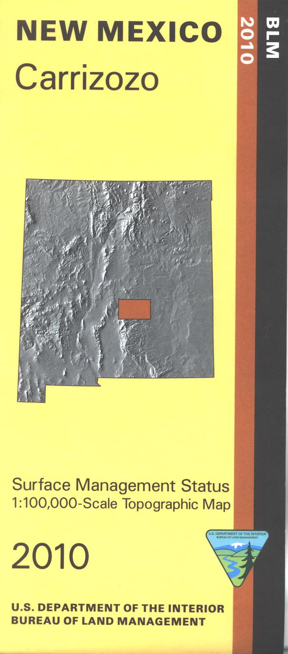
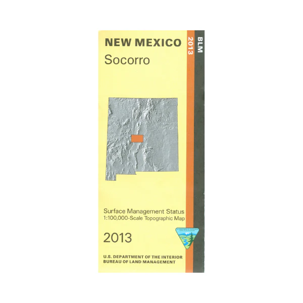
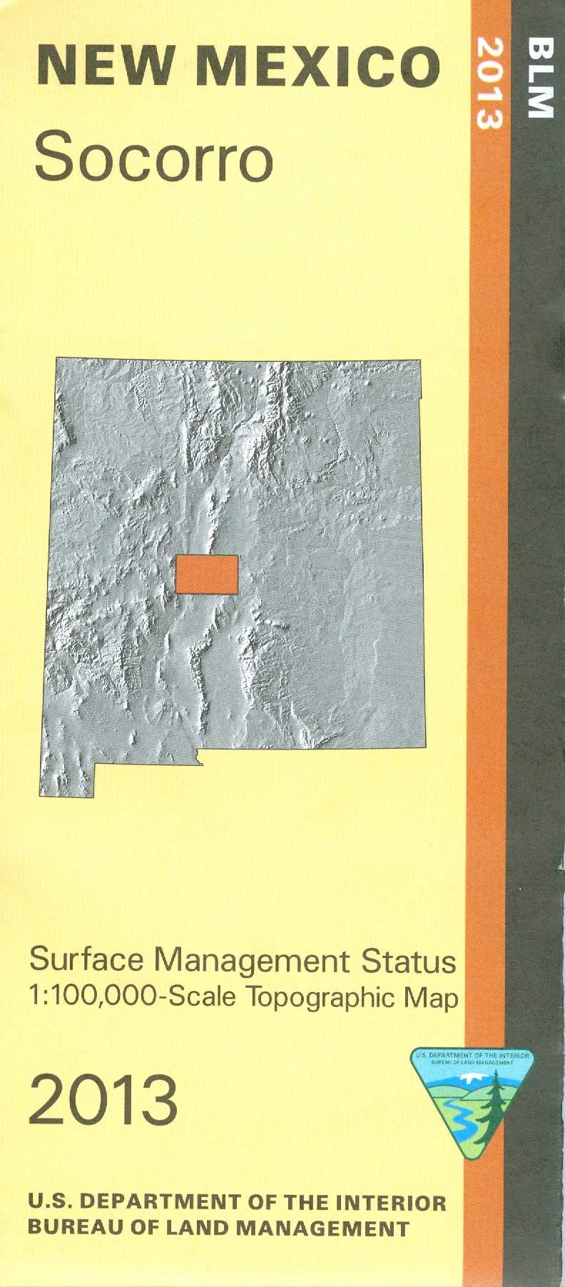
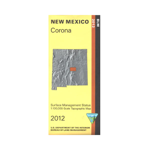
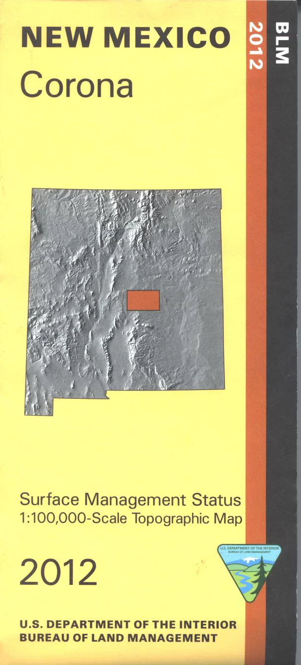
Official Bureau of Land Management topographic maps @1:100,000 metric scale (roughly 3/4" = 1 mile), are color-coded to show federally-managed public lands; plus state, private, or tribal lands, roads and trails, lakes, rivers and streams, and developed recreation areas. It is a great map to have while stalking game in Hunting Units 32 and 40, wildlife watching, hiking, or OHV and ATV riding miles of roads on state land through The Caprock. Includes roads and lands in Curry, Quay and Roosevelt Counties. 2008
Original: $8.99
-65%$8.99
$3.15Product Information
Product Information
Shipping & Returns
Shipping & Returns
Description
Official Bureau of Land Management topographic maps @1:100,000 metric scale (roughly 3/4" = 1 mile), are color-coded to show federally-managed public lands; plus state, private, or tribal lands, roads and trails, lakes, rivers and streams, and developed recreation areas. It is a great map to have while stalking game in Hunting Units 32 and 40, wildlife watching, hiking, or OHV and ATV riding miles of roads on state land through The Caprock. Includes roads and lands in Curry, Quay and Roosevelt Counties. 2008