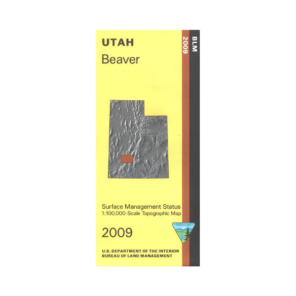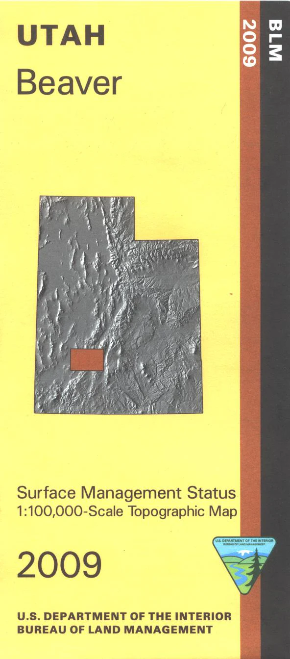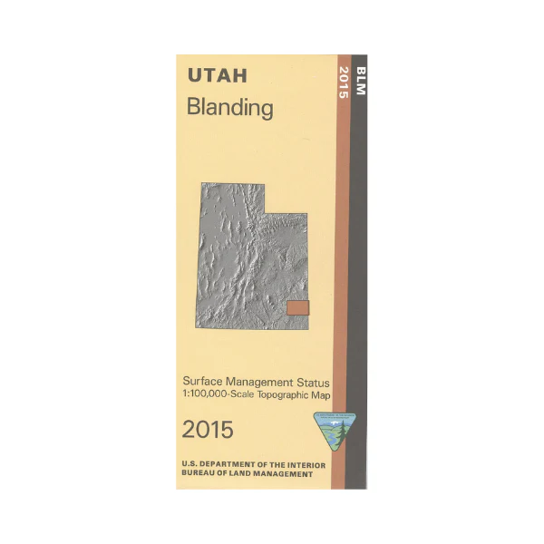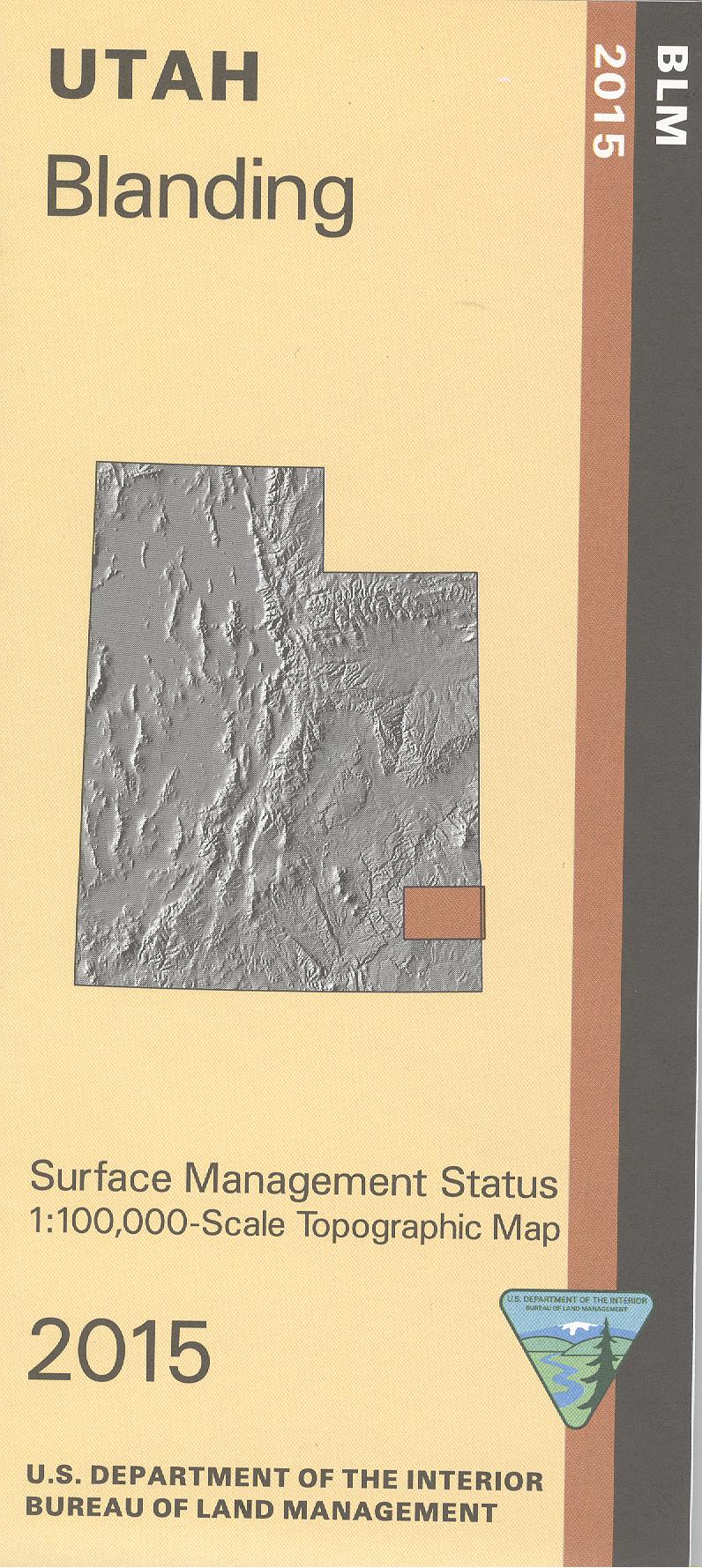
Map: Fishlake National Forest UT
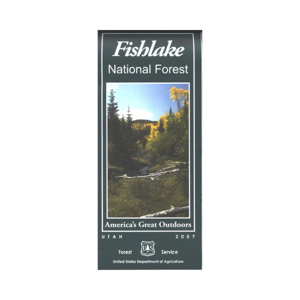
Covers Fillmore, Richfield, Beaver, and Loa Ranger Districts. Explore the sections of the national forest from each of the towns listed; opportunities for scenic driving, camping, hiking, horseback riding, boating, fishing, and wildlife viewing. Visit Fish Lake, a popular camping, boating, and fishing lake southeast of Richfield. Bring your ATV and explore the Paiute ATV Loop Trail, easy access at Salina or near Fremont Indian State Park. Map is based on a 1:100,000 scale and include topographical information, ranger stations, campgrounds, other recreation sites, recreation information, trails and roads. Map includes a separate map for Boulder Mountain/Great Western Trail motor vehicle trails. The map includes information about motorized off-road travel (ATVs, motorcycles, etc.) Use the map for hunting in Beaver East, Central Mountains, Fillmore, Monroe, and Plateau units. On synthetic paper. 2007
Original: $19.99
-65%$19.99
$7.00Product Information
Product Information
Shipping & Returns
Shipping & Returns
Description
Covers Fillmore, Richfield, Beaver, and Loa Ranger Districts. Explore the sections of the national forest from each of the towns listed; opportunities for scenic driving, camping, hiking, horseback riding, boating, fishing, and wildlife viewing. Visit Fish Lake, a popular camping, boating, and fishing lake southeast of Richfield. Bring your ATV and explore the Paiute ATV Loop Trail, easy access at Salina or near Fremont Indian State Park. Map is based on a 1:100,000 scale and include topographical information, ranger stations, campgrounds, other recreation sites, recreation information, trails and roads. Map includes a separate map for Boulder Mountain/Great Western Trail motor vehicle trails. The map includes information about motorized off-road travel (ATVs, motorcycles, etc.) Use the map for hunting in Beaver East, Central Mountains, Fillmore, Monroe, and Plateau units. On synthetic paper. 2007