1 / 2
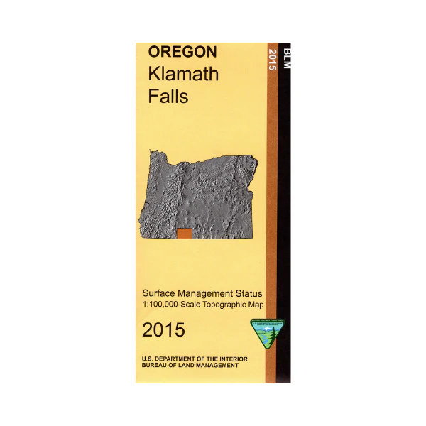
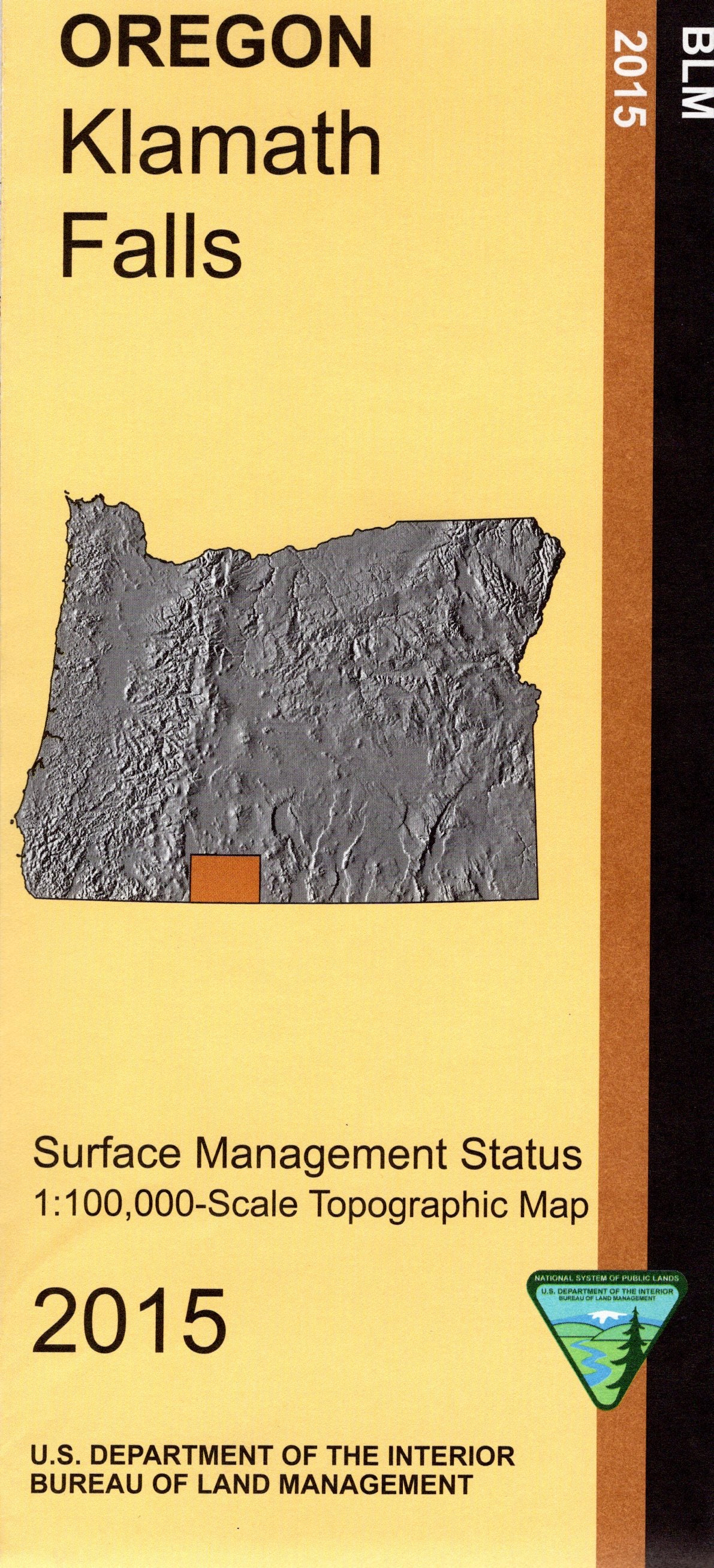
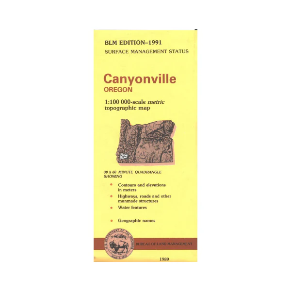
Map: Canyonville OR - OR010S
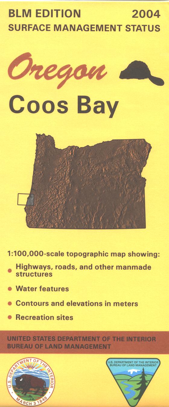
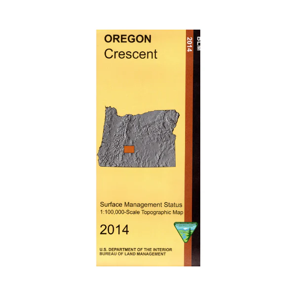
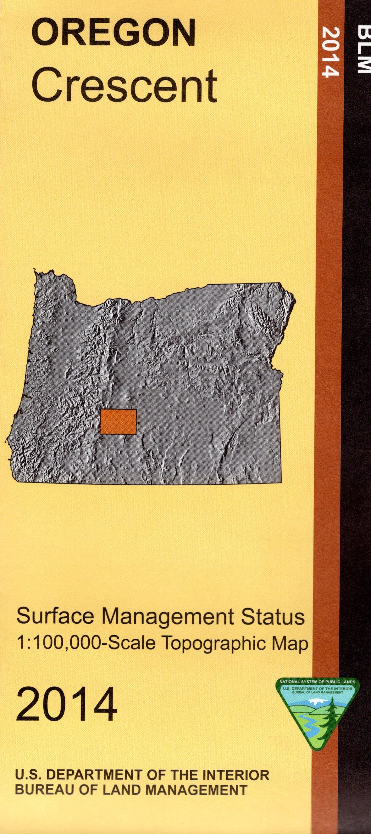
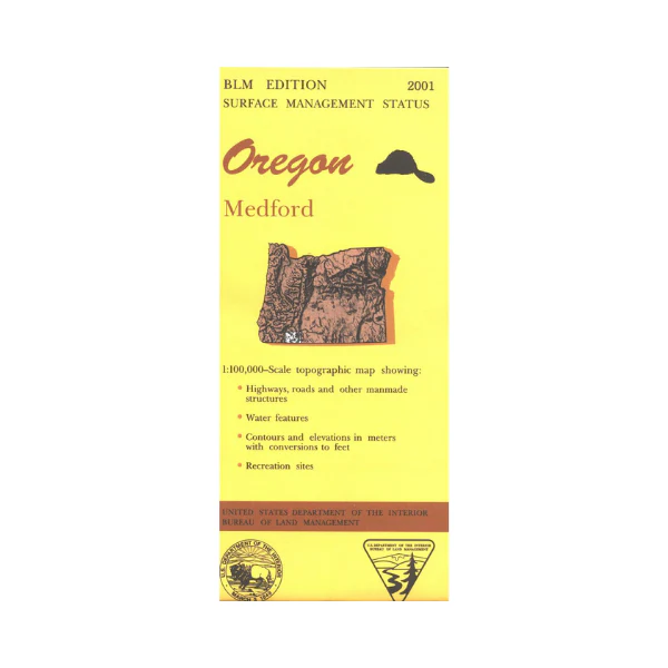
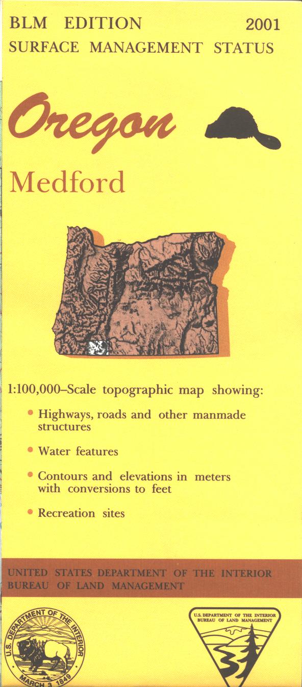
Official Bureau of Land Management metric topographic map @1:100,000 scale (roughly 3/4" = 1 mile), color-coded to show surface
management, i.e. agency vs. private or tribal ownership. This map shows color coded public and private ownership, roads, water features, points of interest and the township
and range lines. Recent revisions are topographic.2017
$8.99
Map: Canyonville OR - OR010S—
$8.99
Product Information
Product Information
Shipping & Returns
Shipping & Returns
Description
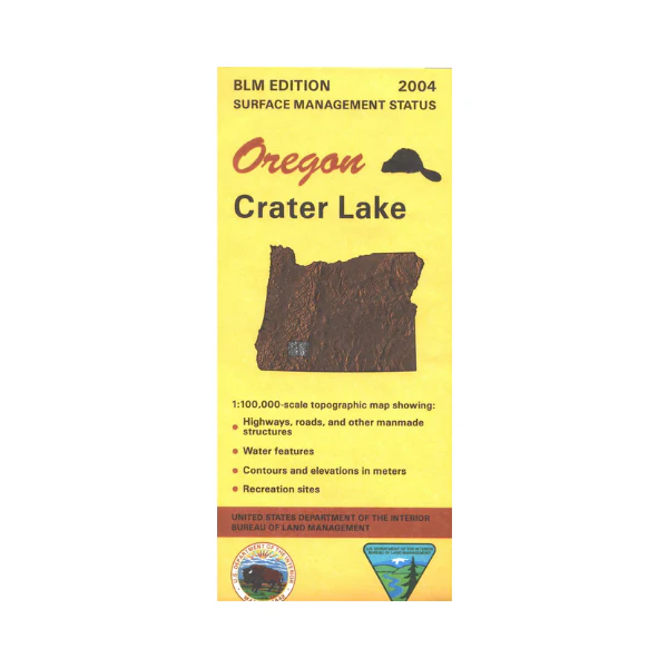
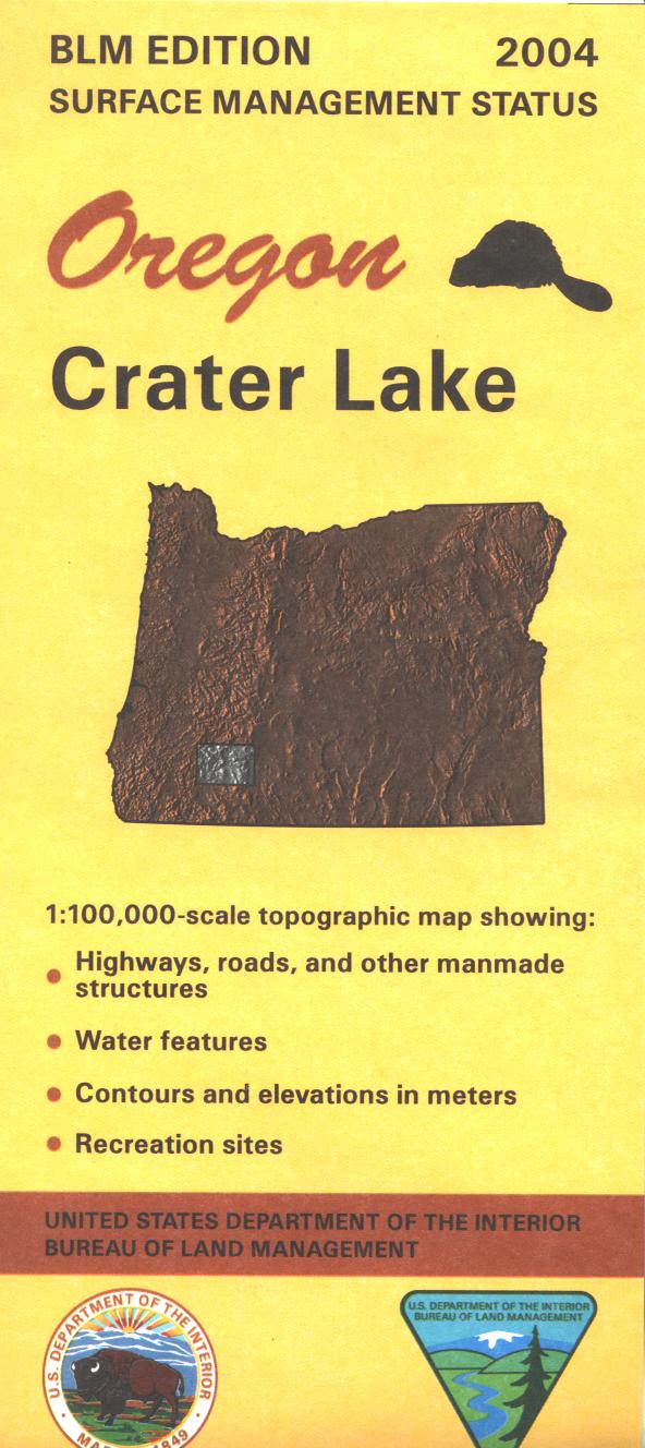
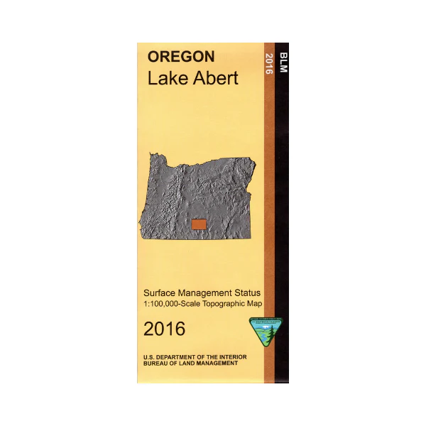
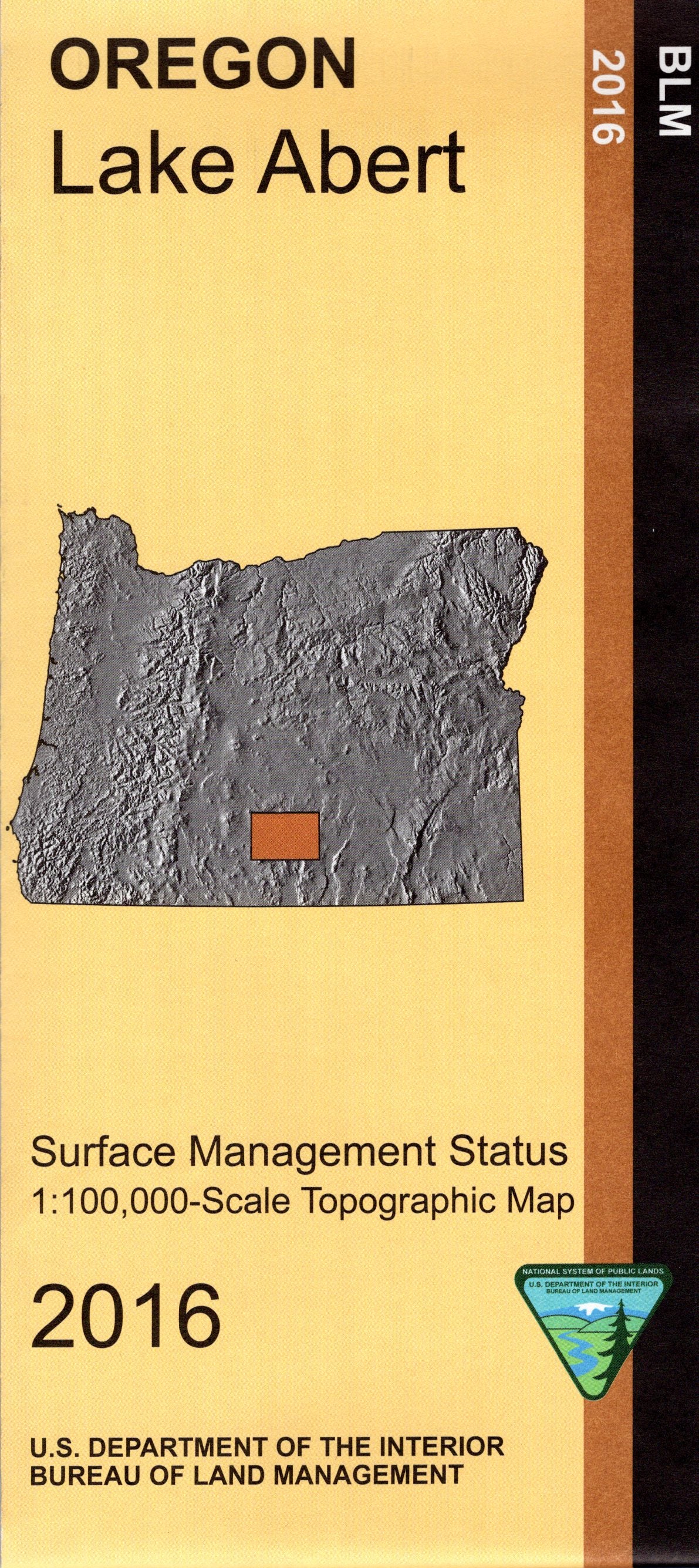
Official Bureau of Land Management metric topographic map @1:100,000 scale (roughly 3/4" = 1 mile), color-coded to show surface
management, i.e. agency vs. private or tribal ownership. This map shows color coded public and private ownership, roads, water features, points of interest and the township
and range lines. Recent revisions are topographic.2017