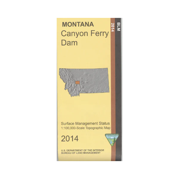
Map: Canyon Ferry Dam MT - MT1033S
The map shows the Missouri River from Holter Lake south to most of Canyon Ferry Lake; a section of the Lewis and Clark National Historic Trail is marked. Enjoy boating, fishing, and camping at the lakes; recreation sites are marked. Scenic driving, camping, hiking, and fishing in the Helena National Forest east of the river. For solitude try hiking and backpacking in Gates of the Mountains Wilderness; trails are shown. A small section of Lewis and Clark National Forest east of the Smith River is shown. Official Bureau of Land Management metric topographic map
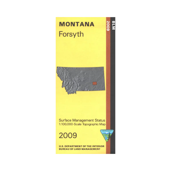
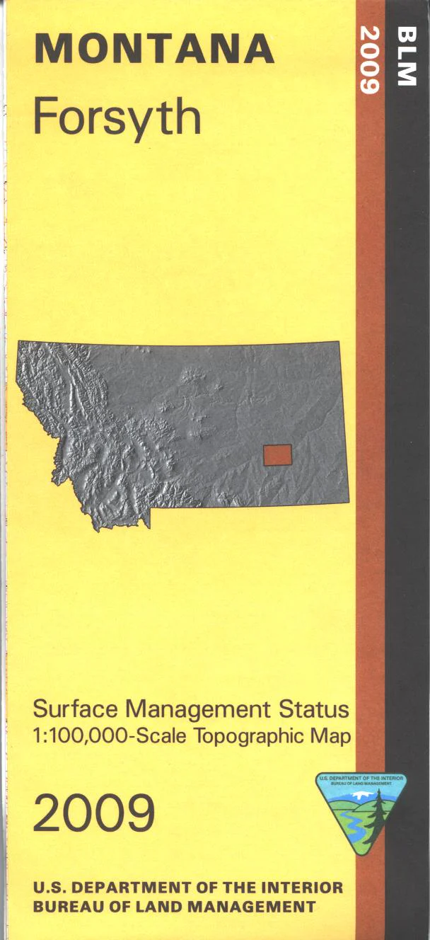
@1:100,000 scale (roughly 3/4"`1 mile), color-coded to show surface
management, i.e. agency vs. private or tribal ownership, and mineral management. This map shows color coded public and private ownership, roads including 4WD/OHV roads, water features, recreation sites, points of interest and the township
and range lines. Use for hunting Deer, Elk, and Mountain Lion in Units 339, 380, 392, 413, 416, 445, 446, 455, and for hunting Moose in Units 380 and 494. 2014
Product Information
Product Information
Shipping & Returns
Shipping & Returns
Description
The map shows the Missouri River from Holter Lake south to most of Canyon Ferry Lake; a section of the Lewis and Clark National Historic Trail is marked. Enjoy boating, fishing, and camping at the lakes; recreation sites are marked. Scenic driving, camping, hiking, and fishing in the Helena National Forest east of the river. For solitude try hiking and backpacking in Gates of the Mountains Wilderness; trails are shown. A small section of Lewis and Clark National Forest east of the Smith River is shown. Official Bureau of Land Management metric topographic map
@1:100,000 scale (roughly 3/4"`1 mile), color-coded to show surface
management, i.e. agency vs. private or tribal ownership, and mineral management. This map shows color coded public and private ownership, roads including 4WD/OHV roads, water features, recreation sites, points of interest and the township
and range lines. Use for hunting Deer, Elk, and Mountain Lion in Units 339, 380, 392, 413, 416, 445, 446, 455, and for hunting Moose in Units 380 and 494. 2014